


Manaihant battice

alinec
User
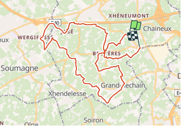

Length
21 km

Max alt
314 m

Uphill gradient
383 m
Km-Effort
26 km

Min alt
206 m

Downhill gradient
363 m
Boucle
No
Creation date :
2024-01-28 09:07:50.0
Updated on :
2024-01-28 14:17:10.662

FREE GPS app for hiking
 SityTrail
IGN / Geographical institutes
SityTrail Plus
The world is yours!
About
Trail of 21 km to be discovered at Wallonia, Liège, Herve. This trail is proposed by alinec.
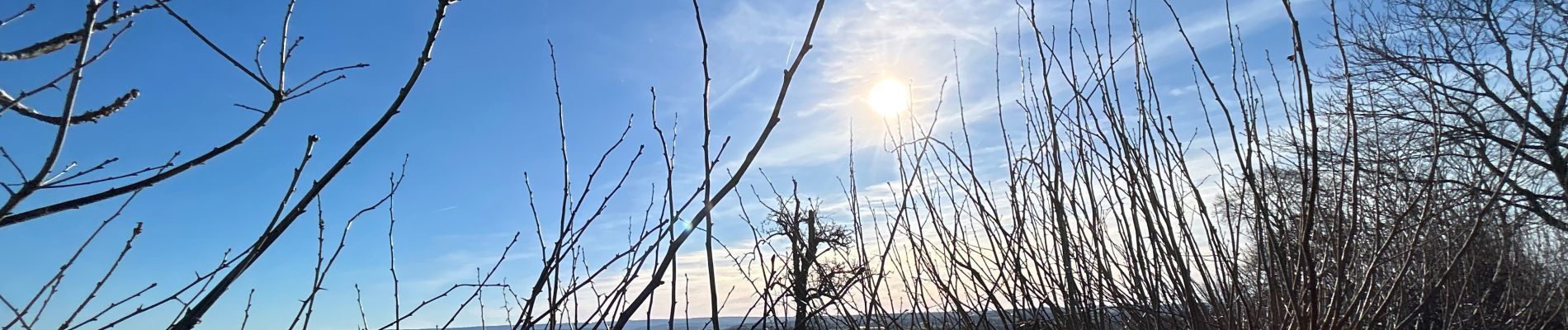
Photos


Positioning
Country:
Belgium
Region :
Wallonia
Department/Province :
Liège
Municipality :
Herve
Location:
Unknown
Start:(Dec)
Start:(UTM)
699083 ; 5612274 (31U) N.
Comments