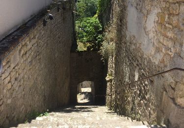
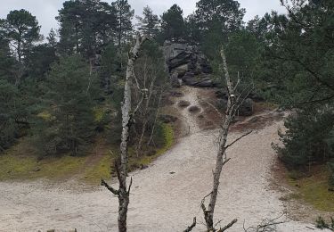
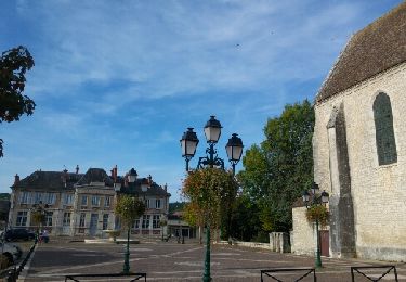
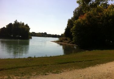
Trail On foot Chaintreaux - Forêt de Cercanceaux - Photo
© OpenStreetMap contributors
Length
Length
8.9 km
Max alt
Max alt
122 m
Uphill gradient
Uphill gradient
107 m
Km-Effort
Km-Effort  
10.3 km
Min alt
Min alt
74 m
Downhill gradient
Downhill gradient
107 m
Boucle
Boucle
Yes
Creation date :
2024-01-28 17:32:20.66
Updated on :
2024-01-28 17:33:50.331

(0 Reviews)

On foot
On foot
2h20
Difficulty : Easy
Walking
Walking
2h20
Difficulty : Medium

Scan this QR Code to open this trail in the SityTrail application

FREE GPS app for hiking

Logo SityTrail SityTrail

IGN / Geographical institutes

Download SityTrail from the App Store Download SityTrail from Google Play

Logo SityTrail SityTrail World

The world is yours!

Download SityTrail from the App Store Download SityTrail from Google Play Download SityTrail on Huawei AppGallery

About

Trail On foot of 8.9 km to be discovered at Ile-de-France, Seine-et-Marne, Chaintreaux. This trail is proposed by alainchachignon.

Elevation profile

Positioning

Country:
France
Region :
Ile-de-France
Department/Province :
Seine-et-Marne
Municipality :
Chaintreaux
Location:
Unknown
Start:(UTM)
485100 ; 5336217 (31U) N.

Trails nearby

Trail Walking Souppes-sur-Loing - Soupe sur Loing Chateau Landon en 8 - Photo
Walking
choubaka77

Walking

Easy
(1)
Souppes-sur-Loing, Ile-de-France, Seine-et-Marne, France
21 km | 24 km-effort
4h 55min
Yes
Trail On foot Remauville - L'Etre supreme en terre romaine - Photo
On foot
PRO

On foot

Medium
Remauville, Ile-de-France, Seine-et-Marne, France
18.1 km | 20 km-effort
4h 34min
Yes
Trail Walking Poligny - polynoise 2017 - Photo
Walking
joelinou

Walking

Medium
(2)
Poligny, Ile-de-France, Seine-et-Marne, France
19.3 km | 23 km-effort
3h 44min
Yes
Trail Walking Poligny - poligny rpn 2024 - Photo
Walking
michel89100

Walking

Medium
(1)
Poligny, Ile-de-France, Seine-et-Marne, France
23 km | 27 km-effort
5h 8min
Yes
Trail sport Souppes-sur-Loing - Château Landon es et ff - Photo
sport
fabreberger

sport

Very easy
Souppes-sur-Loing, Ile-de-France, Seine-et-Marne, France
20 km | 23 km-effort
Unknown
No
Trail Other activity Souppes-sur-Loing - Souppes - Photo
Other activity
capog

Other activity

Very easy
Souppes-sur-Loing, Ile-de-France, Seine-et-Marne, France
21 km | 24 km-effort
5h 0min
Yes
Trail Mountain bike Dordives - prepa transvolcanique - Photo
Mountain bike
a142862

Mountain bike

Easy
Dordives, Centre-Loire Valley, Loiret, France
32 km | 36 km-effort
1h 29min
Yes
Trail Walking Dordives - château de Dordives - Photo
Walking
raypat

Walking

Difficult
Dordives, Centre-Loire Valley, Loiret, France
13.7 km | 16 km-effort
3h 29min
Yes
Trail Walking Dordives - Dordives 2017 - Photo
Walking
JacquesMARQUET

Walking

Very difficult
Dordives, Centre-Loire Valley, Loiret, France
23 km | 27 km-effort
6h 4min
Yes


Close
My subscriptions