


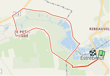

10.4 km | 12.2 km-effort


User


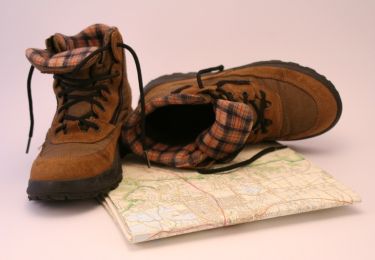
FREE GPS app for hiking
 SityTrail
IGN / Geographical institutes
SityTrail World
The world is yours!
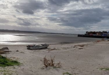
Trail Walking of 5.5 km to be discovered at Hauts-de-France, Somme, Estrébœuf. This trail is proposed by roselinemazeyrat.
L'Amboise prend sa source à Pendé et se jette dans la Somme à Saint Valery sur Somme, après 6,7 km nord est

Walking
Walking

Walking
Walking

Walking

Mountain bike
Mountain bike
Road bike