


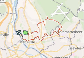

7 km | 8.6 km-effort


User


FREE GPS app for hiking
 SityTrail
IGN / Geographical institutes
SityTrail World
The world is yours!
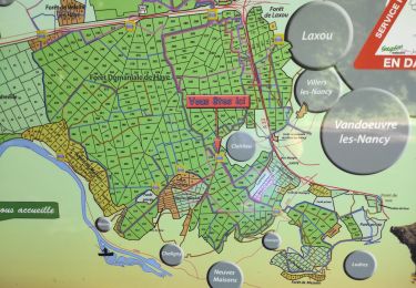
Trail Walking of 8.7 km to be discovered at Grand Est, Meurthe-et-Moselle, Malzéville. This trail is proposed by DanielROLLET.
2024 01 30 - 13h25 à ???? - Rando RP54 31 participants
Temps couver, doux et calme
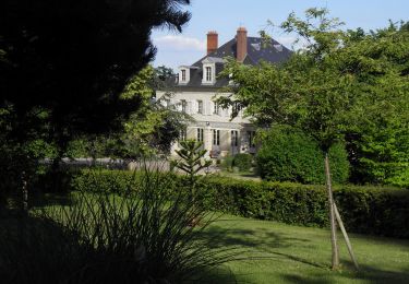
Départ/retour La Douëra
Que d’arrêts, quelle lenteur!

On foot

On foot
On foot

Walking
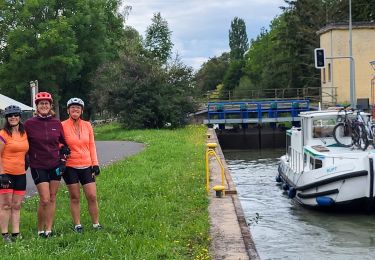
Bicycle tourism
Walking
Walking
Walking
On foot