


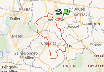
Vertaizon Chas Chauriat

Papou63patrick
User

Length
14.8 km

Max alt
519 m

Uphill gradient
438 m
Km-Effort
21 km

Min alt
343 m

Downhill gradient
438 m
Boucle
Yes
Creation date :
2024-01-31 09:09:00.253
Updated on :
2024-01-31 13:53:33.51
4h43
Difficulty : Medium

FREE GPS app for hiking
 SityTrail
IGN / Geographical institutes
SityTrail Plus
The world is yours!
About
Trail Walking of 14.8 km to be discovered at Auvergne-Rhône-Alpes, Puy-de-Dôme, Vertaizon. This trail is proposed by Papou63patrick.
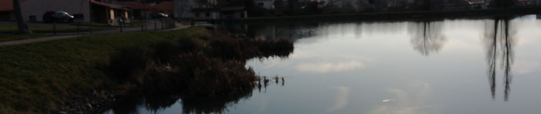
Photos


Positioning
Country:
France
Region :
Auvergne-Rhône-Alpes
Department/Province :
Puy-de-Dôme
Municipality :
Vertaizon
Location:
Unknown
Start:(Dec)
Start:(UTM)
523033 ; 5068721 (31T) N.
Comments