


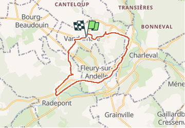


12.3 km | 15.7 km-effort


User


FREE GPS app for hiking
 SityTrail
IGN / Geographical institutes
SityTrail World
The world is yours!
Trail Walking of 12.2 km to be discovered at Normandy, Eure, Vandrimare. This trail is proposed by doudet.
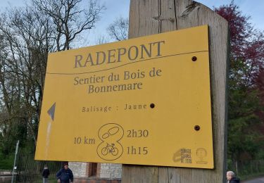
oucle A-R au départ de la rue des Ecoles


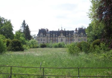
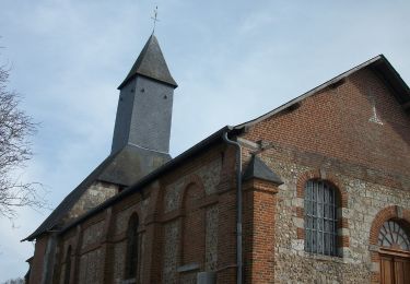
23 photos in total. Please click on a photo to see them all in the gallery.
Walking

Walking

Walking
Walking
Walking
Walking
On foot