


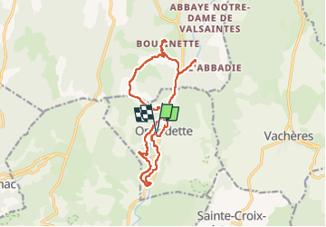

9.4 km | 12.8 km-effort

User GUIDE


FREE GPS app for hiking
 SityTrail
IGN / Geographical institutes
SityTrail World
The world is yours!
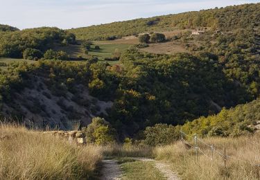
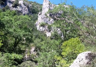
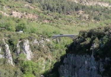
Trail Walking of 16.8 km to be discovered at Provence-Alpes-Côte d'Azur, Alpes-de-Haute-Provence, Oppedette. This trail is proposed by Kargil.
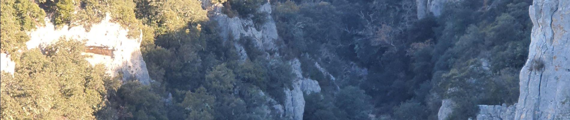
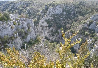
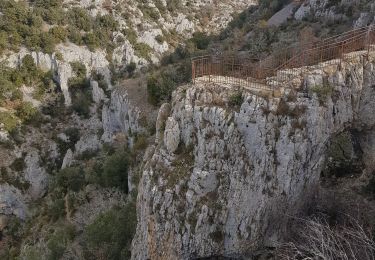
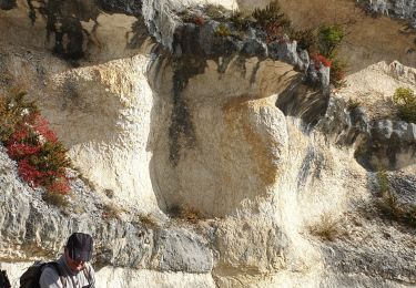
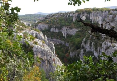
Très belle randonnée technique sur les vires des gorges
A réserver toutefois à des randonneurs confirmés ne craignant pas le vide.
Les passages difficiles sont protégés par des main-courantes métalliques.


Walking
Walking
Walking
Walking

Walking
Walking
Walking
Walking
Walking