


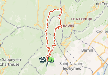
030224 Boucle Col de la Faîta

mzonzon05
User


5h25
Difficulty : Very difficult

FREE GPS app for hiking
 SityTrail
IGN / Geographical institutes
SityTrail Plus
The world is yours!
About
Trail Walking of 16 km to be discovered at Auvergne-Rhône-Alpes, Isère, Saint-Ismier. This trail is proposed by mzonzon05.
Description
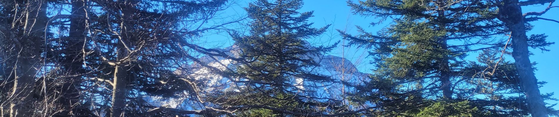
Boucle en forêt certes mais avec un joli chemin et de réguliers points de vue sur la Dent de Crolles, Chamechaude et le Grand Som. Effectuée en février, sans neige et en manches courtes au vu du beau temps, elle doit se faire en toutes saisons (avec des raquettes au besoin).
Photos


Positioning
Comments