


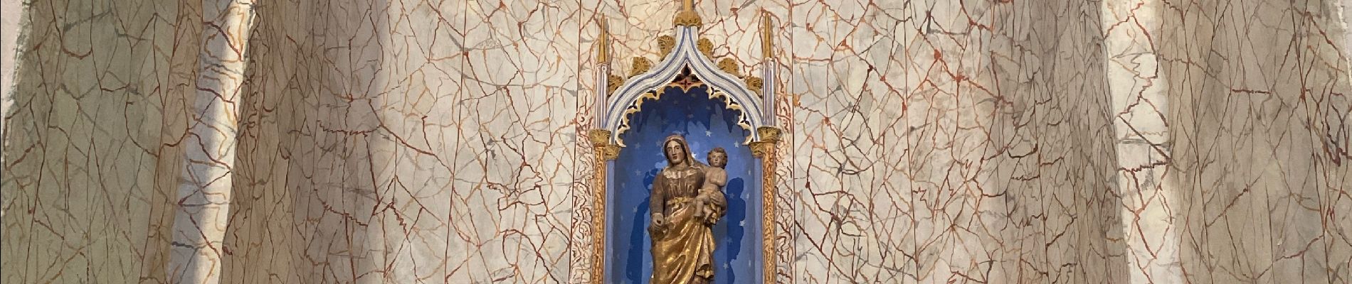
Lirac les 4 lavoirs

Roger Philippe Wallez
User GUIDE
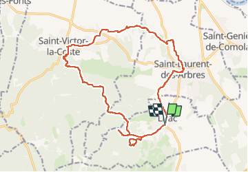

Length
21 km

Max alt
226 m

Uphill gradient
397 m
Km-Effort
26 km

Min alt
72 m

Downhill gradient
396 m
Boucle
Yes
Creation date :
2024-02-04 08:35:43.0
Updated on :
2024-02-04 15:16:04.013
6h39
Difficulty : Very difficult

FREE GPS app for hiking
 SityTrail
IGN / Geographical institutes
SityTrail Plus
The world is yours!
About
Trail Walking of 21 km to be discovered at Occitania, Gard, Lirac. This trail is proposed by Roger Philippe Wallez.
Photos


Positioning
Country:
France
Region :
Occitania
Department/Province :
Gard
Municipality :
Lirac
Location:
Unknown
Start:(Dec)
Start:(UTM)
635429 ; 4877100 (31T) N.
Comments