


Caudreronde

Ada11
User GUIDE
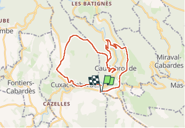

Length
18.7 km

Max alt
816 m

Uphill gradient
681 m
Km-Effort
28 km

Min alt
507 m

Downhill gradient
682 m
Boucle
Yes
Creation date :
2024-02-04 08:11:36.026
Updated on :
2024-02-04 15:48:23.183
6h38
Difficulty : Medium

FREE GPS app for hiking
 SityTrail
IGN / Geographical institutes
SityTrail Plus
The world is yours!
About
Trail Walking of 18.7 km to be discovered at Occitania, Aude, Caudebronde. This trail is proposed by Ada11.
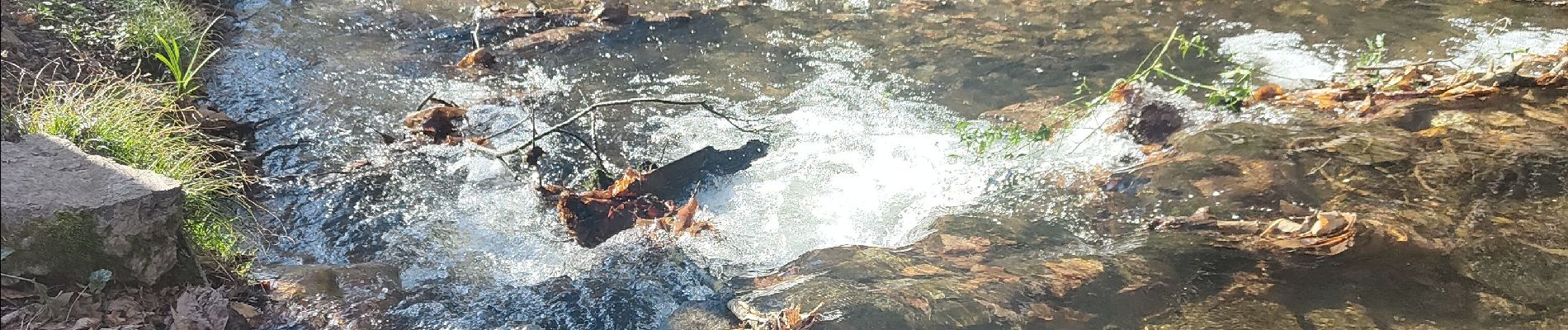
Photos


Positioning
Country:
France
Region :
Occitania
Department/Province :
Aude
Municipality :
Caudebronde
Location:
Unknown
Start:(Dec)
Start:(UTM)
443349 ; 4801833 (31T) N.
Comments