


Cauterets 2024

Gbreuilh
User
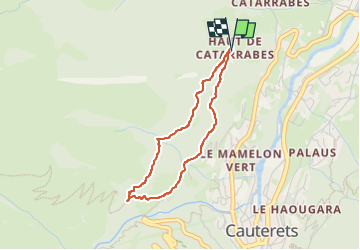

Length
3.2 km

Max alt
1248 m

Uphill gradient
172 m
Km-Effort
5.5 km

Min alt
1056 m

Downhill gradient
181 m
Boucle
Yes
Creation date :
2024-02-05 10:47:54.118
Updated on :
2024-02-05 13:19:06.399
1h29
Difficulty : Easy

FREE GPS app for hiking
 SityTrail
IGN / Geographical institutes
SityTrail Plus
The world is yours!
About
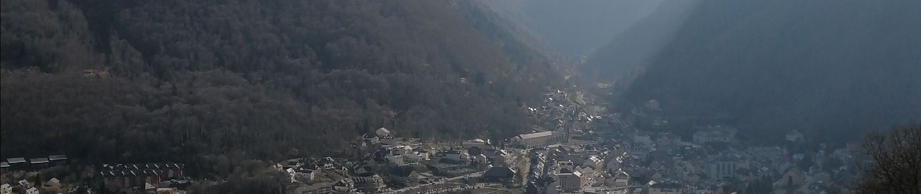
Trail Walking of 3.2 km to be discovered at Occitania, Hautespyrenees, Cauterets. This trail is proposed by Gbreuilh.
Description
Montée au début puis alternance plat et descente assez prononcée.
Photos

Positioning
Country:
France
Region :
Occitania
Department/Province :
Hautespyrenees
Municipality :
Cauterets
Location:
Unknown
Start:(Dec)
Start:(UTM)
735361 ; 4753813 (30T) N.
Comments