


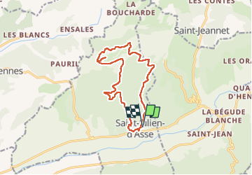


7.2 km | 9.7 km-effort

User GUIDE


FREE GPS app for hiking
 SityTrail
IGN / Geographical institutes
SityTrail World
The world is yours!
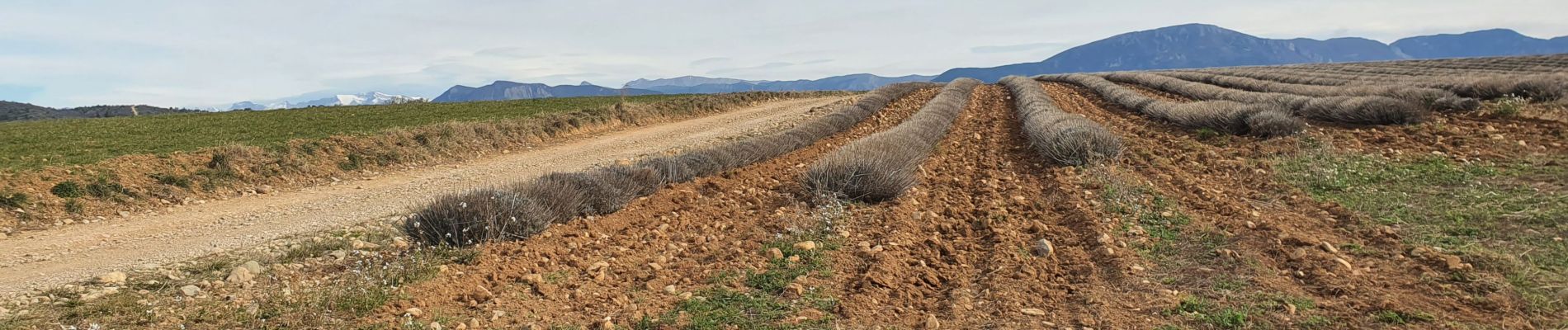
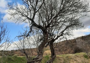
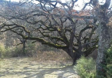
Trail Walking of 14.4 km to be discovered at Provence-Alpes-Côte d'Azur, Alpes-de-Haute-Provence, Saint-Julien-d'Asse. This trail is proposed by Kargil.


Walking
Walking

Walking
Walking
Walking
Walking
Walking
Walking

Mountain bike
les loulous de Quinson te remercient pour cette belle randonnée.