Trail  Septfonds - Septfonds . Dolmens  - Photo
 Glurps
Glurps

User

© OpenStreetMap contributors
Length
Length
11.5 km
Max alt
Max alt
202 m
Uphill gradient
Uphill gradient
145 m
Km-Effort
Km-Effort  
13.4 km
Min alt
Min alt
148 m
Downhill gradient
Downhill gradient
131 m
Boucle
Boucle
No
Creation date :
2024-02-11 10:38:21.0
Updated on :
2024-02-11 13:17:20.514

(0 Reviews)


Scan this QR Code to open this trail in the SityTrail application

FREE GPS app for hiking

Logo SityTrail SityTrail

IGN / Geographical institutes

Download SityTrail from the App Store Download SityTrail from Google Play

Logo SityTrail SityTrail World

The world is yours!

Download SityTrail from the App Store Download SityTrail from Google Play Download SityTrail on Huawei AppGallery

About

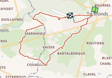
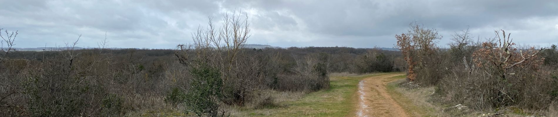
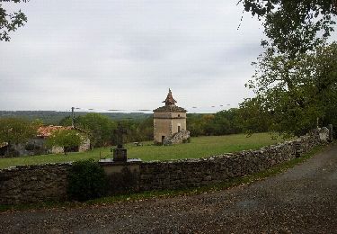
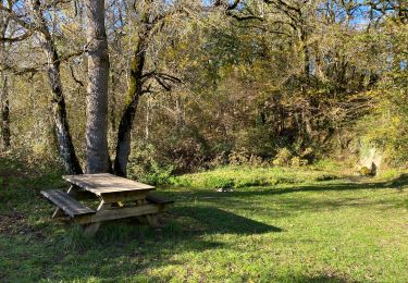
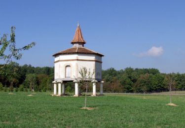
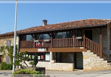
Trail of 11.5 km to be discovered at Occitania, Tarn-et-Garonne, Septfonds. This trail is proposed by Glurps.

Description

Le 11 février 2024

Elevation profile

Photos

Positioning

Country:
France
Region :
Occitania
Department/Province :
Tarn-et-Garonne
Municipality :
Septfonds
Location:
Unknown
Start:(UTM)
389325 ; 4892608 (31T) N.

Trails nearby

Trail Walking Lavaurette - Lavaurette - Photo
Walking
Byac

Walking

Very easy
Lavaurette, Occitania, Tarn-et-Garonne, France
8.6 km | 10 km-effort
2h 39min
Yes
Trail sport Saint-Georges - PR1 St Georges 3/12/2023 - Photo
sport
Glurps

sport

Very easy
Saint-Georges, Occitania, Tarn-et-Garonne, France
16.5 km | 18.9 km-effort
Unknown
Yes
Trail Mountain bike Saint-Georges - La rando des 4 communes - Saint Georges - Cayriech - Lalande - St Martin de Caussanille - Photo
Mountain bike
tracegps

Mountain bike

Difficult
Saint-Georges, Occitania, Tarn-et-Garonne, France
16.7 km | 19 km-effort
1h 30min
Yes
Trail Walking Saint-Georges - La rando des 4 communes - Saint Georges - Cayriech - Lalande - St Martin de Caussanille - Photo
Walking
tracegps

Walking

Difficult
Saint-Georges, Occitania, Tarn-et-Garonne, France
16.7 km | 19 km-effort
4h 0min
Yes
Trail Walking Saint-Cirq - Saint-Cirq 82 (Vabunozoty) - Photo
Walking
Byac

Walking

Very easy
Saint-Cirq, Occitania, Tarn-et-Garonne, France
16.6 km | 19.7 km-effort
4h 51min
Yes
Trail Mountain bike Cayriech - baradou - Photo
Mountain bike
baradou

Mountain bike

Easy
Cayriech, Occitania, Tarn-et-Garonne, France
48 km | 58 km-effort
3h 10min
No
Trail Mountain bike Cayriech - baradou - Photo
Mountain bike
baradou

Mountain bike

Easy
Cayriech, Occitania, Tarn-et-Garonne, France
38 km | 46 km-effort
2h 0min
No
Trail Road bike Cayriech - baradoi - Photo
Road bike
baradou

Road bike

Very difficult
Cayriech, Occitania, Tarn-et-Garonne, France
104 km | 121 km-effort
4h 18min
Yes
Trail Road bike Cayriech - baradou - Photo
Road bike
baradou

Road bike

Medium
Cayriech, Occitania, Tarn-et-Garonne, France
132 km | 152 km-effort
5h 46min
Yes


Close
My subscriptions