


Prads-Haute-Bléone heyre chavailles 17k 950m

Danielba
User GUIDE
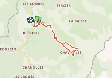

Length
15.5 km

Max alt
1448 m

Uphill gradient
909 m
Km-Effort
28 km

Min alt
931 m

Downhill gradient
912 m
Boucle
Yes
Creation date :
2024-02-11 07:40:47.813
Updated on :
2024-02-11 17:21:40.232
7h14
Difficulty : Medium

FREE GPS app for hiking
 SityTrail
IGN / Geographical institutes
SityTrail Plus
The world is yours!
About
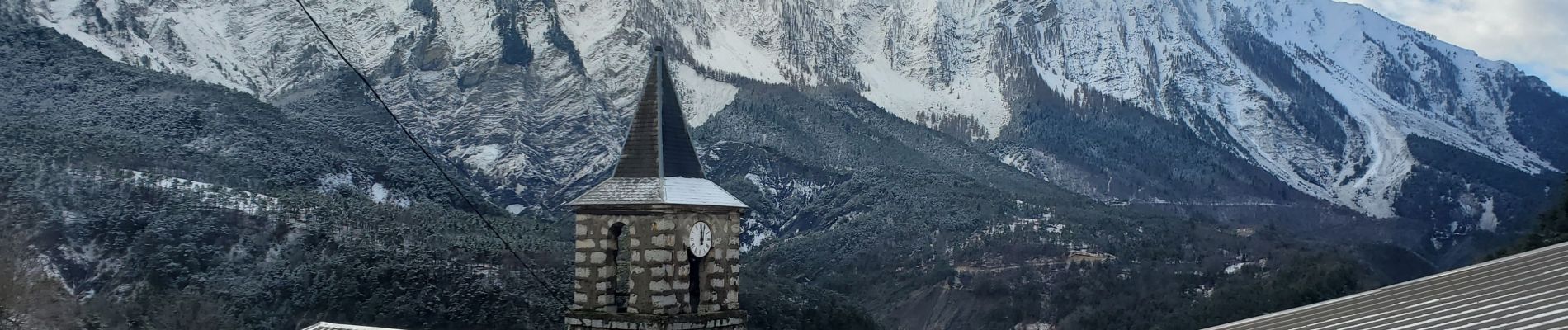
Trail Walking of 15.5 km to be discovered at Provence-Alpes-Côte d'Azur, Alpes-de-Haute-Provence, Prads-Haute-Bléone. This trail is proposed by Danielba .
Photos


Positioning
Country:
France
Region :
Provence-Alpes-Côte d'Azur
Department/Province :
Alpes-de-Haute-Provence
Municipality :
Prads-Haute-Bléone
Location:
Blégiers
Start:(Dec)
Start:(UTM)
293889 ; 4895680 (32T) N.
Comments