


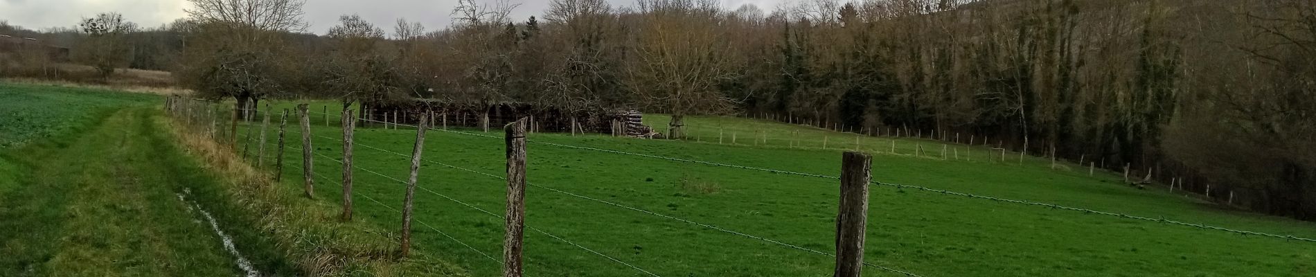
Essomes sur Marne du 12/02/2024

VANDERPUTTENMi
User GUIDE

Length
8.2 km

Max alt
211 m

Uphill gradient
202 m
Km-Effort
10.9 km

Min alt
55 m

Downhill gradient
202 m
Boucle
Yes
Creation date :
2024-02-12 12:46:23.436
Updated on :
2024-02-20 16:49:34.056
2h29
Difficulty : Medium

FREE GPS app for hiking
 SityTrail
IGN / Geographical institutes
SityTrail Plus
The world is yours!
About
Trail Walking of 8.2 km to be discovered at Hauts-de-France, Aisne, Essômes-sur-Marne. This trail is proposed by VANDERPUTTENMi.
Photos

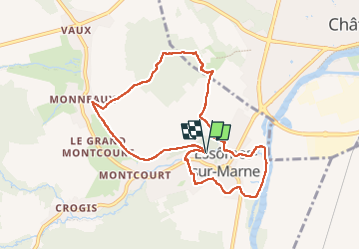
Positioning
Country:
France
Region :
Hauts-de-France
Department/Province :
Aisne
Municipality :
Essômes-sur-Marne
Location:
Unknown
Start:(Dec)
Start:(UTM)
527137 ; 5430979 (31U) N.
Comments