


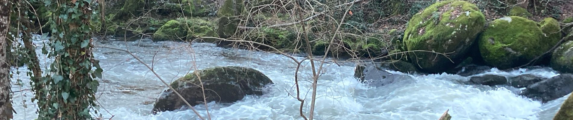
La chapelle

PascalBanide
User
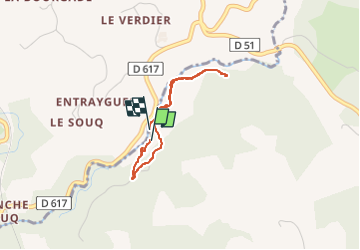

Length
2.5 km

Max alt
414 m

Uphill gradient
75 m
Km-Effort
3.5 km

Min alt
363 m

Downhill gradient
72 m
Boucle
Yes
Creation date :
2024-02-13 15:34:04.0
Updated on :
2024-02-13 16:36:45.294

FREE GPS app for hiking
 SityTrail
IGN / Geographical institutes
SityTrail Plus
The world is yours!
About
Trail of 2.5 km to be discovered at Auvergne-Rhône-Alpes, Cantal, Leynhac. This trail is proposed by PascalBanide.
Photos

Positioning
Country:
France
Region :
Auvergne-Rhône-Alpes
Department/Province :
Cantal
Municipality :
Leynhac
Location:
Unknown
Start:(Dec)
Start:(UTM)
441131 ; 4955724 (31T) N.
Comments