


Mandelieu Forêt du grand duc

soca
User
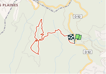

Length
4.8 km

Max alt
395 m

Uphill gradient
140 m
Km-Effort
6.6 km

Min alt
285 m

Downhill gradient
141 m
Boucle
Yes
Creation date :
2024-02-13 16:57:25.915
Updated on :
2024-02-13 16:58:31.317
1h30
Difficulty : Medium

FREE GPS app for hiking
 SityTrail
IGN / Geographical institutes
SityTrail Plus
The world is yours!
About
Trail Walking of 4.8 km to be discovered at Provence-Alpes-Côte d'Azur, Maritime Alps, Mandelieu-la-Napoule. This trail is proposed by soca.
Positioning
Country:
France
Region :
Provence-Alpes-Côte d'Azur
Department/Province :
Maritime Alps
Municipality :
Mandelieu-la-Napoule
Location:
Unknown
Start:(Dec)
Start:(UTM)
331866 ; 4824561 (32T) N.
Comments