


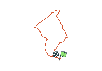

7.2 km | 9.6 km-effort

User


FREE GPS app for hiking
 SityTrail
IGN / Geographical institutes
SityTrail World
The world is yours!
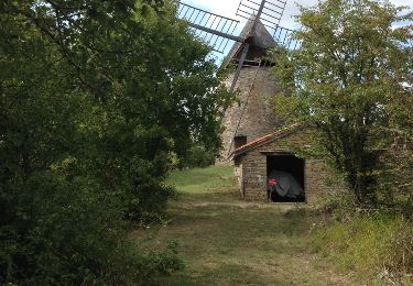
Trail of 15.7 km to be discovered at Occitania, Tarn-et-Garonne, Saint-Projet. This trail is proposed by Glurps.
Par gr 46 et pr 1 a peu près. On doit pouvoir éviter la route finale


Walking
Walking
Walking
Walking


Walking
Walking

Other activity
Walking