


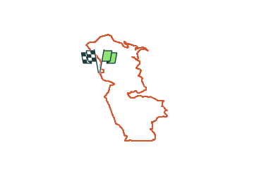
CAP Esterel - Depuis le Menhir

GeorgesV.
User

Length
9.1 km

Max alt
166 m

Uphill gradient
291 m
Km-Effort
13 km

Min alt
16 m

Downhill gradient
293 m
Boucle
Yes
Creation date :
2024-02-16 07:34:35.0
Updated on :
2024-02-17 11:32:53.801

FREE GPS app for hiking
 SityTrail
IGN / Geographical institutes
SityTrail Plus
The world is yours!
About
Trail of 9.1 km to be discovered at Provence-Alpes-Côte d'Azur, Var, Saint-Raphaël. This trail is proposed by GeorgesV..
Positioning
Country:
France
Region :
Provence-Alpes-Côte d'Azur
Department/Province :
Var
Municipality :
Saint-Raphaël
Location:
Unknown
Start:(Dec)
Start:(UTM)
324761 ; 4811291 (32T) N.
Comments