


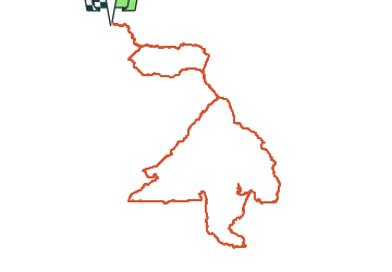

16 km | 23 km-effort

User


FREE GPS app for hiking
 SityTrail
IGN / Geographical institutes
SityTrail World
The world is yours!
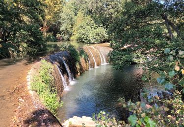
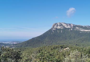
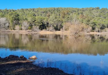
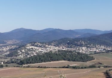
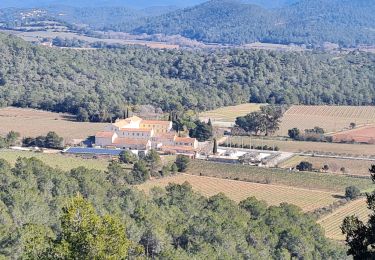
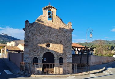
Trail Walking of 14.1 km to be discovered at Provence-Alpes-Côte d'Azur, Var, Solliès-Pont. This trail is proposed by Surfou.
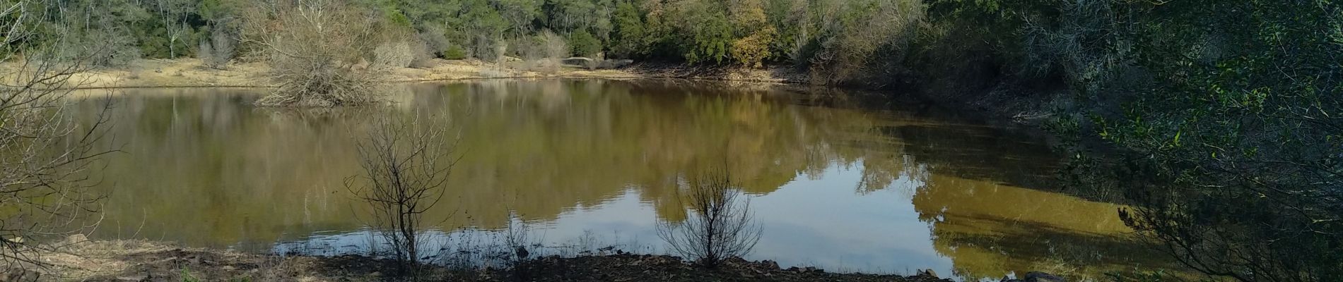
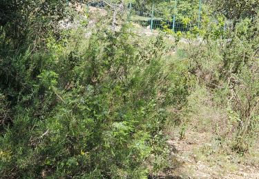
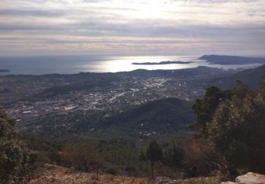
Randonnée sur les hauteurs de Solliès-pont. Couvent , Lac et Menhir (vestiges) de Montbel. Petit passage sur un chemin privé (500m) sans barrière.


Walking
Trail
Walking
Walking

Walking
Walking
Walking
Walking
Walking