


De St-Genies à Lentheric

Raymond DAVID
User
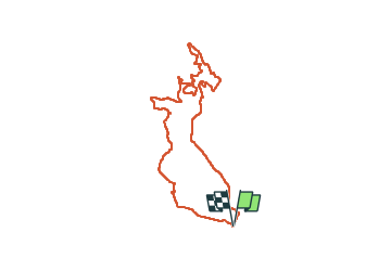

Length
17.2 km

Max alt
206 m

Uphill gradient
274 m
Km-Effort
21 km

Min alt
75 m

Downhill gradient
273 m
Boucle
Yes
Creation date :
2024-02-11 08:15:24.316
Updated on :
2024-02-16 22:16:48.587
5h30
Difficulty : Medium
3h00
Difficulty : Medium

FREE GPS app for hiking
 SityTrail
IGN / Geographical institutes
SityTrail Plus
The world is yours!
About
Trail Walking of 17.2 km to be discovered at Occitania, Hérault, Saint-Geniès-de-Fontedit. This trail is proposed by Raymond DAVID .
Description
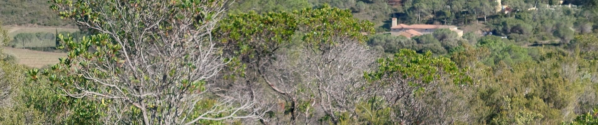
Belle randonnée sans difficulté si ce n'est la longueur, à éviter par grosse chaleur ou après de grosses pluies. Des points de vues.
Photos


Positioning
Country:
France
Region :
Occitania
Department/Province :
Hérault
Municipality :
Saint-Geniès-de-Fontedit
Location:
Unknown
Start:(Dec)
Start:(UTM)
513187 ; 4813466 (31T) N.
Comments