


La Cham du Cros

pb07
User
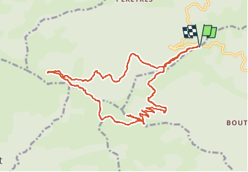

Length
12.3 km

Max alt
1201 m

Uphill gradient
513 m
Km-Effort
19.1 km

Min alt
773 m

Downhill gradient
515 m
Boucle
Yes
Creation date :
2024-02-19 08:54:58.74
Updated on :
2024-02-19 14:29:36.496
4h21
Difficulty : Very difficult

FREE GPS app for hiking
 SityTrail
IGN / Geographical institutes
SityTrail Plus
The world is yours!
About
Trail Walking of 12.3 km to be discovered at Auvergne-Rhône-Alpes, Ardèche, Prunet. This trail is proposed by pb07.
Positioning
Country:
France
Region :
Auvergne-Rhône-Alpes
Department/Province :
Ardèche
Municipality :
Prunet
Location:
Unknown
Start:(Dec)
Start:(UTM)
598545 ; 4939997 (31T) N.
Comments