


Colombies

bouscaillou
User

Length
11.4 km

Max alt
722 m

Uphill gradient
183 m
Km-Effort
13.8 km

Min alt
653 m

Downhill gradient
183 m
Boucle
Yes
Creation date :
2024-02-20 13:06:43.284
Updated on :
2024-02-20 16:02:11.461
2h54
Difficulty : Difficult

FREE GPS app for hiking
 SityTrail
IGN / Geographical institutes
SityTrail Plus
The world is yours!
About
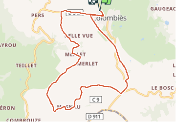
Trail Walking of 11.4 km to be discovered at Occitania, Aveyron, Colombiès. This trail is proposed by bouscaillou.
Positioning
Country:
France
Region :
Occitania
Department/Province :
Aveyron
Municipality :
Colombiès
Location:
Unknown
Start:(Dec)
Start:(UTM)
446908 ; 4910527 (31T) N.
Comments