


Villaret

tyntyn
User
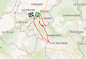

Length
12.9 km

Max alt
962 m

Uphill gradient
411 m
Km-Effort
18.4 km

Min alt
650 m

Downhill gradient
414 m
Boucle
Yes
Creation date :
2024-02-21 13:12:48.705
Updated on :
2024-02-21 16:55:48.456
3h24
Difficulty : Difficult

FREE GPS app for hiking
 SityTrail
IGN / Geographical institutes
SityTrail Plus
The world is yours!
About
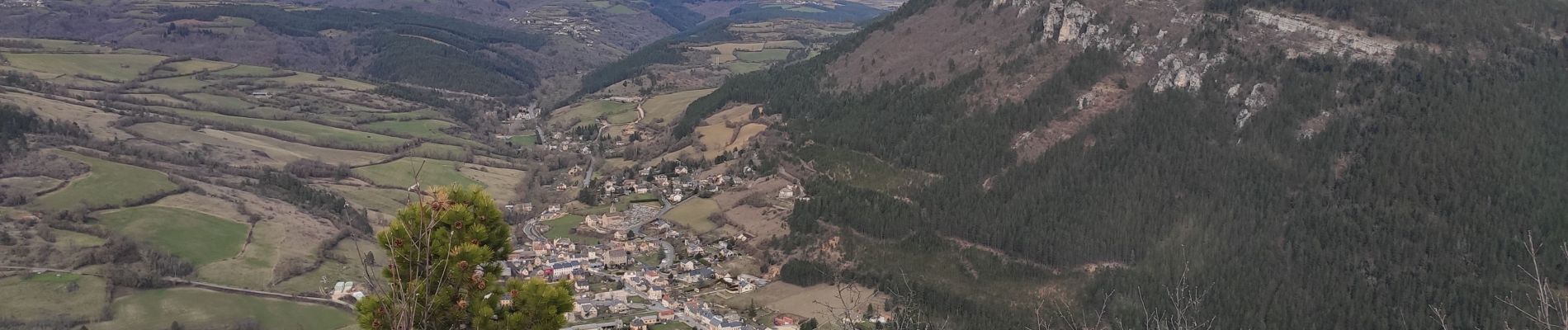
Trail Walking of 12.9 km to be discovered at Occitania, Lozère, Barjac. This trail is proposed by tyntyn.
Photos


Positioning
Country:
France
Region :
Occitania
Department/Province :
Lozère
Municipality :
Barjac
Location:
Unknown
Start:(Dec)
Start:(UTM)
531545 ; 4926869 (31T) N.
Comments