


Queyras pic de maloqueste

Bruno Devigne
User

Length
10.8 km

Max alt
2683 m

Uphill gradient
1010 m
Km-Effort
24 km

Min alt
1626 m

Downhill gradient
1052 m
Boucle
Yes
Creation date :
2024-02-23 07:57:54.896
Updated on :
2024-02-23 15:26:37.639
7h26
Difficulty : Medium

FREE GPS app for hiking
 SityTrail
IGN / Geographical institutes
SityTrail Plus
The world is yours!
About
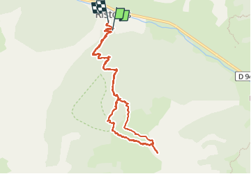
Trail Touring skiing of 10.8 km to be discovered at Provence-Alpes-Côte d'Azur, Hautes-Alpes, Abriès-Ristolas. This trail is proposed by Bruno Devigne.
Description
A/R sur piste puis combes
Positioning
Country:
France
Region :
Provence-Alpes-Côte d'Azur
Department/Province :
Hautes-Alpes
Municipality :
Abriès-Ristolas
Location:
Unknown
Start:(Dec)
Start:(UTM)
338220 ; 4959578 (32T) N.
Comments