


barrême chateau plus haut chaudon 19.5km 860m

Danielba
User GUIDE
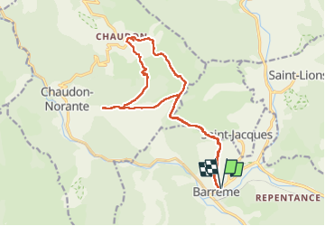

Length
18.9 km

Max alt
1225 m

Uphill gradient
799 m
Km-Effort
30 km

Min alt
727 m

Downhill gradient
799 m
Boucle
Yes
Creation date :
2024-02-25 07:31:52.326
Updated on :
2024-02-25 14:45:25.329
7h11
Difficulty : Easy

FREE GPS app for hiking
 SityTrail
IGN / Geographical institutes
SityTrail Plus
The world is yours!
About
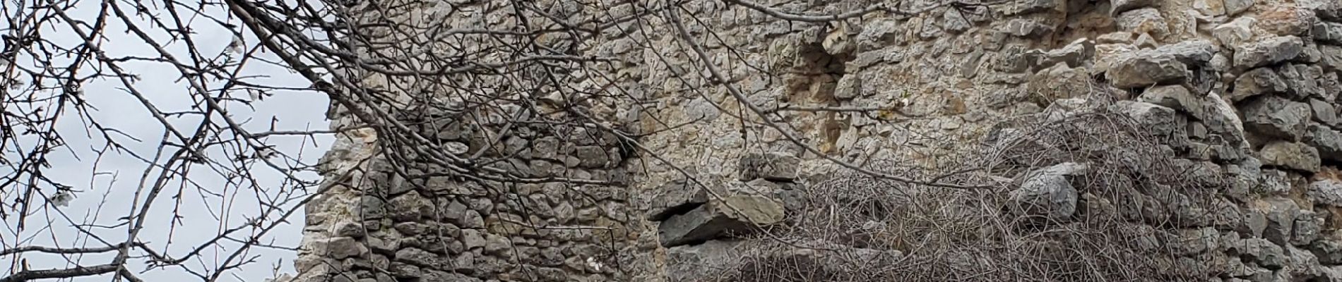
Trail Walking of 18.9 km to be discovered at Provence-Alpes-Côte d'Azur, Alpes-de-Haute-Provence, Barrême. This trail is proposed by Danielba .
Photos


Positioning
Country:
France
Region :
Provence-Alpes-Côte d'Azur
Department/Province :
Alpes-de-Haute-Provence
Municipality :
Barrême
Location:
Unknown
Start:(Dec)
Start:(UTM)
289006 ; 4870142 (32T) N.
Comments