


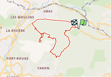


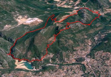
14.1 km | 21 km-effort

User


FREE GPS app for hiking
 SityTrail
IGN / Geographical institutes
SityTrail World
The world is yours!
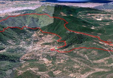
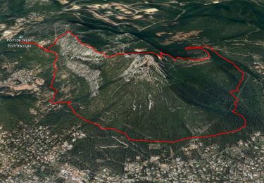
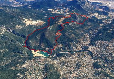
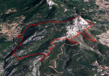
Trail Walking of 9.9 km to be discovered at Provence-Alpes-Côte d'Azur, Var, Toulon. This trail is proposed by cousam.
forte montée
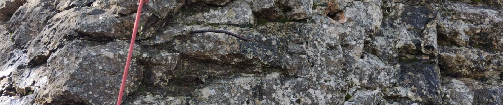
Au km 1.4 il y a des barreaux, ensuite
au km 5 il y a des barreaux également pour descendre le mur ,( pour éviter de faire le tour,du musée point bleu avec un passage assez technique)
Forte descente
Prévoir éventuellement corde - baudrier


Walking
Walking
Walking
Walking

Walking

Walking
Walking
Walking
Walking