Trail Walking Gémenos - 
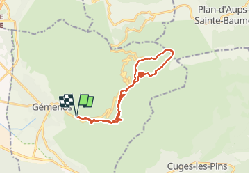
St pons gde baume glacière - Photo
© OpenStreetMap contributors
Length
Length
15.6 km
Max alt
Max alt
884 m
Uphill gradient
Uphill gradient
791 m
Km-Effort
Km-Effort  
26 km
Min alt
Min alt
183 m
Downhill gradient
Downhill gradient
791 m
Boucle
Boucle
Yes
Creation date :
2024-02-29 08:18:43.444
Updated on :
2024-03-01 10:29:10.036

(0 Reviews)

Walking
Walking
5h56
Difficulty : Very difficult

Scan this QR Code to open this trail in the SityTrail application

FREE GPS app for hiking

Logo SityTrail SityTrail

IGN / Geographical institutes

Download SityTrail from the App Store Download SityTrail from Google Play

Logo SityTrail SityTrail Plus

The world is yours!

Download SityTrail from the App Store Download SityTrail from Google Play Download SityTrail on Huawei AppGallery

About

Trail Walking of 15.6 km to be discovered at Provence-Alpes-Côte d'Azur, Bouches-du-Rhône, Gémenos. This trail is proposed by cdanielrando.

Description

Circuit magnifique dont la seule difficulté à part le dénivelé, se trouve sur la montée de la barre du pin de Simon où il faut s'aider des mains.
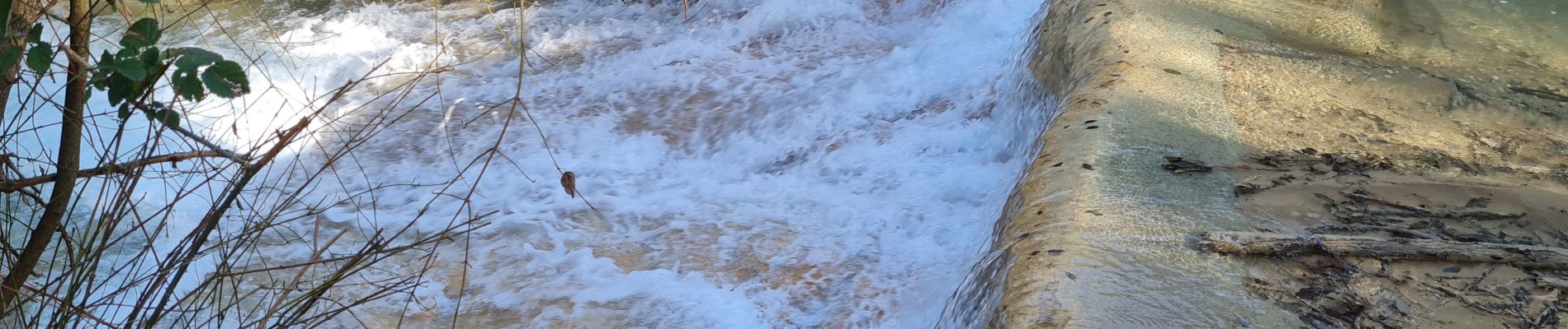
Elevation profile

Photos

25 photos in total. Please click on a photo to see them all in the gallery.

Positioning

Country:
France
Region :
Provence-Alpes-Côte d'Azur
Department/Province :
Bouches-du-Rhône
Municipality :
Gémenos
Location:
Unknown
Start:(UTM)
714307 ; 4796703 (31T) N.


Close
My subscriptions