


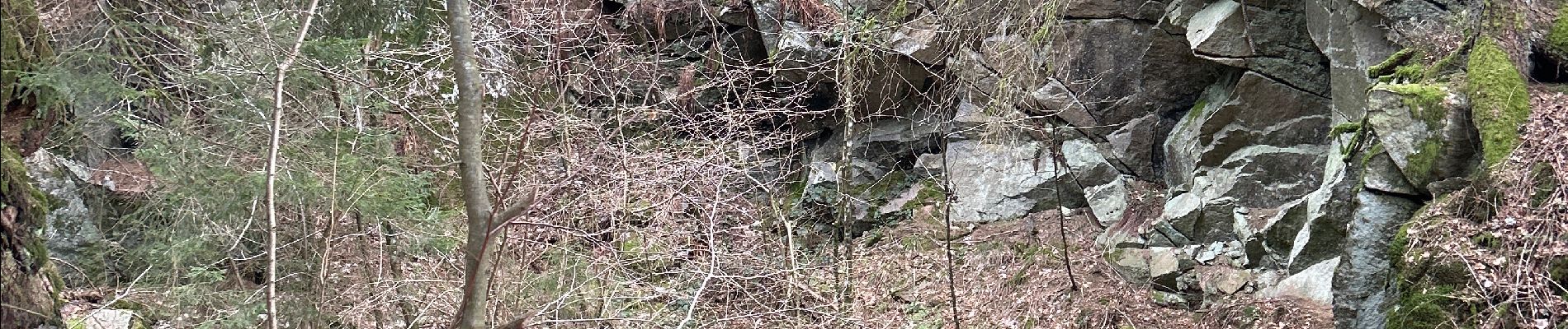
Piquante Pierre, col de Ménufosse, tourbière de Jemnaufaing

francoisecarlier
User

Length
18.9 km

Max alt
1029 m

Uphill gradient
690 m
Km-Effort
28 km

Min alt
641 m

Downhill gradient
693 m
Boucle
Yes
Creation date :
2024-03-03 09:57:17.0
Updated on :
2024-07-14 08:13:32.597
6h23
Difficulty : Medium

FREE GPS app for hiking
 SityTrail
IGN / Geographical institutes
SityTrail Plus
The world is yours!
About
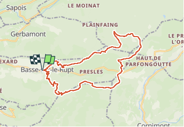
Trail Walking of 18.9 km to be discovered at Grand Est, Vosges, Basse-sur-le-Rupt. This trail is proposed by francoisecarlier.
Photos


Positioning
Country:
France
Region :
Grand Est
Department/Province :
Vosges
Municipality :
Basse-sur-le-Rupt
Location:
Unknown
Start:(Dec)
Start:(UTM)
333258 ; 5317470 (32T) N.
Comments