


Pic d'Aret

frizou83
User
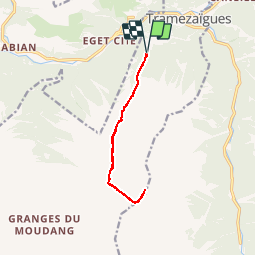

Length
11.1 km

Max alt
2910 m

Uphill gradient
1584 m
Km-Effort
32 km

Min alt
1296 m

Downhill gradient
1587 m
Boucle
Yes
Creation date :
2015-03-17 00:00:00.0
Updated on :
2015-03-17 00:00:00.0
6h10
Difficulty : Very difficult

FREE GPS app for hiking
 SityTrail
IGN / Geographical institutes
SityTrail Plus
The world is yours!
About
Trail Walking of 11.1 km to be discovered at Occitania, Hautespyrenees, Tramezaïgues. This trail is proposed by frizou83.
Positioning
Country:
France
Region :
Occitania
Department/Province :
Hautespyrenees
Municipality :
Tramezaïgues
Location:
Unknown
Start:(Dec)
Start:(UTM)
277167 ; 4740956 (31T) N.
Comments