


pilon St Clément-06-03-2024

Christiancordin
User
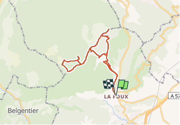

Length
18.5 km

Max alt
698 m

Uphill gradient
825 m
Km-Effort
30 km

Min alt
185 m

Downhill gradient
822 m
Boucle
Yes
Creation date :
2024-03-06 07:32:07.493
Updated on :
2024-03-07 17:07:52.572
7h04
Difficulty : Medium

FREE GPS app for hiking
 SityTrail
IGN / Geographical institutes
SityTrail Plus
The world is yours!
About
Trail Walking of 18.5 km to be discovered at Provence-Alpes-Côte d'Azur, Var, Cuers. This trail is proposed by Christiancordin.
Description
Départ PK la Foux, vallon de la Rouvéreide, pas de Cuers, barre de Cuers, pas de Riquier, les Eigras, pas de Brusquet, pilon de St Clément, le Brusquet, vallon du jas de Mourrier.
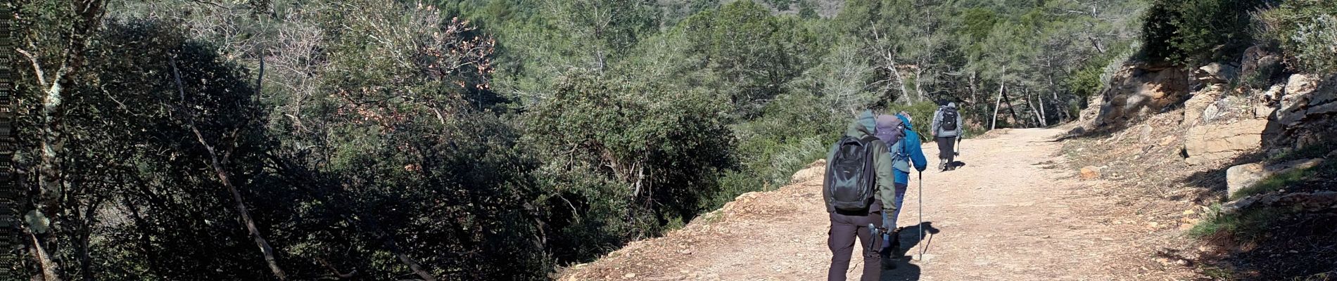
Photos


Positioning
Country:
France
Region :
Provence-Alpes-Côte d'Azur
Department/Province :
Var
Municipality :
Cuers
Location:
Unknown
Start:(Dec)
Start:(UTM)
261717 ; 4793068 (32T) N.
Comments