


Ballan-Miré - Rochefuret - 13.7km 165m 3h05 (40mn) - 2024 03 06

Orcal37
User GUIDE
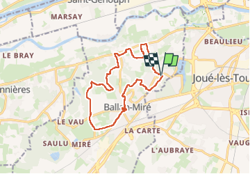

Length
13.7 km

Max alt
99 m

Uphill gradient
166 m
Km-Effort
16 km

Min alt
45 m

Downhill gradient
168 m
Boucle
Yes
Creation date :
2024-03-06 09:51:16.711
Updated on :
2024-03-15 15:06:32.184
3h05
Difficulty : Medium

FREE GPS app for hiking
 SityTrail
IGN / Geographical institutes
SityTrail Plus
The world is yours!
About
Trail Walking of 13.7 km to be discovered at Centre-Loire Valley, Indre-et-Loire, Ballan-Miré. This trail is proposed by Orcal37.
Description
Ballan-Miré - Rochefuret - 13.7km 165m 3h05 (40mn) - 2024 03 06
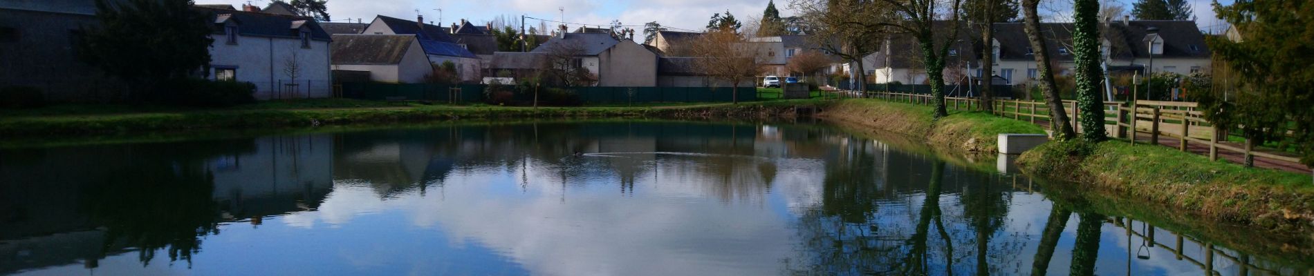
Photos
 - 2024 03 06 - Photo 1")
 - 2024 03 06 - Photo 2")
 - 2024 03 06 - Photo 3")
 - 2024 03 06 - Photo 4")
 - 2024 03 06 - Photo 5")
Positioning
Country:
France
Region :
Centre-Loire Valley
Department/Province :
Indre-et-Loire
Municipality :
Ballan-Miré
Location:
Unknown
Start:(Dec)
Start:(UTM)
321017 ; 5246988 (31T) N.
Comments