


Geneston 2024

Lobin
User
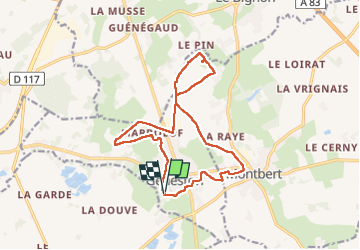

Length
15 km

Max alt
36 m

Uphill gradient
82 m
Km-Effort
16.1 km

Min alt
13 m

Downhill gradient
81 m
Boucle
Yes
Creation date :
2024-03-03 07:51:25.0
Updated on :
2024-03-06 20:12:12.469
2h33
Difficulty : Medium

FREE GPS app for hiking
 SityTrail
IGN / Geographical institutes
SityTrail Plus
The world is yours!
About
Trail Walking of 15 km to be discovered at Pays de la Loire, Loire-Atlantique, Geneston. This trail is proposed by Lobin.
Positioning
Country:
France
Region :
Pays de la Loire
Department/Province :
Loire-Atlantique
Municipality :
Geneston
Location:
Unknown
Start:(Dec)
Start:(UTM)
612548 ; 5212076 (30T) N.
Comments