


Madière, la Sauvié, crête de Séranne

34christophe
User
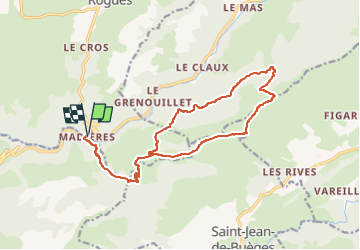

Length
19.3 km

Max alt
815 m

Uphill gradient
742 m
Km-Effort
29 km

Min alt
231 m

Downhill gradient
745 m
Boucle
Yes
Creation date :
2024-03-07 21:38:45.517
Updated on :
2024-03-07 21:39:25.055
6h38
Difficulty : Medium

FREE GPS app for hiking
 SityTrail
IGN / Geographical institutes
SityTrail Plus
The world is yours!
About
Trail On foot of 19.3 km to be discovered at Occitania, Gard, Rogues. This trail is proposed by 34christophe.
Positioning
Country:
France
Region :
Occitania
Department/Province :
Gard
Municipality :
Rogues
Location:
Unknown
Start:(Dec)
Start:(UTM)
545379 ; 4855855 (31T) N.
Comments