


Urbeis- Col de Noirceux- Col de Fouchy

vaillantjm
User

Length
13.6 km

Max alt
790 m

Uphill gradient
616 m
Km-Effort
22 km

Min alt
342 m

Downhill gradient
612 m
Boucle
Yes
Creation date :
2024-03-09 18:32:22.865
Updated on :
2024-04-13 09:41:55.982
4h56
Difficulty : Very difficult

FREE GPS app for hiking
 SityTrail
IGN / Geographical institutes
SityTrail Plus
The world is yours!
About
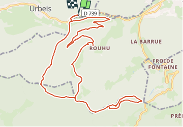
Trail Walking of 13.6 km to be discovered at Grand Est, Bas-Rhin, Urbeis. This trail is proposed by vaillantjm.
Positioning
Country:
France
Region :
Grand Est
Department/Province :
Bas-Rhin
Municipality :
Urbeis
Location:
Unknown
Start:(Dec)
Start:(UTM)
369364 ; 5353878 (32U) N.
Comments