


av cl 2024

frank12
User

Length
30 km

Max alt
898 m

Uphill gradient
915 m
Km-Effort
42 km

Min alt
615 m

Downhill gradient
971 m
Boucle
No
Creation date :
2024-03-10 18:04:06.982
Updated on :
2024-03-10 18:06:28.338
1h00
Difficulty : Very easy

FREE GPS app for hiking
 SityTrail
IGN / Geographical institutes
SityTrail Plus
The world is yours!
About
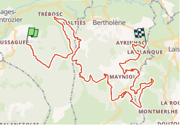
Trail Moto cross of 30 km to be discovered at Occitania, Aveyron, Montrozier. This trail is proposed by frank12.
Description
lussague-laissac
Positioning
Country:
France
Region :
Occitania
Department/Province :
Aveyron
Municipality :
Montrozier
Location:
Unknown
Start:(Dec)
Start:(UTM)
477645 ; 4914490 (31T) N.
Comments