


cheval blanc 13

jo-ba
User
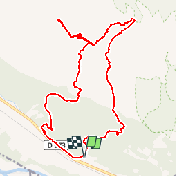

Length
13 km

Max alt
373 m

Uphill gradient
416 m
Km-Effort
18.6 km

Min alt
105 m

Downhill gradient
416 m
Boucle
Yes
Creation date :
2015-03-19 00:00:00.0
Updated on :
2015-03-19 00:00:00.0
4h44
Difficulty : Easy

FREE GPS app for hiking
 SityTrail
IGN / Geographical institutes
SityTrail Plus
The world is yours!
About
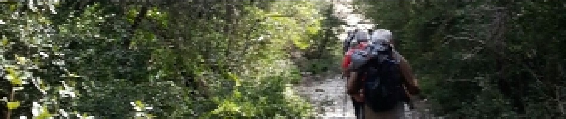
Trail Walking of 13 km to be discovered at Provence-Alpes-Côte d'Azur, Vaucluse, Cheval-Blanc. This trail is proposed by jo-ba.
Description
p 1 p2
Photos


Positioning
Country:
France
Region :
Provence-Alpes-Côte d'Azur
Department/Province :
Vaucluse
Municipality :
Cheval-Blanc
Location:
Unknown
Start:(Dec)
Start:(UTM)
672048 ; 4847550 (31T) N.
Comments