


lmc
User
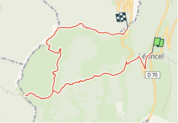

Length
10.6 km

Max alt
1299 m

Uphill gradient
545 m
Km-Effort
17.1 km

Min alt
918 m

Downhill gradient
317 m
Boucle
No
Creation date :
2024-03-11 11:06:40.135
Updated on :
2024-03-11 11:06:40.135

FREE GPS app for hiking
 SityTrail
IGN / Geographical institutes
SityTrail Plus
The world is yours!
About
Trail of 10.6 km to be discovered at Auvergne-Rhône-Alpes, Drôme, Léoncel. This trail is proposed by lmc.
Positioning
Country:
France
Region :
Auvergne-Rhône-Alpes
Department/Province :
Drôme
Municipality :
Léoncel
Location:
Unknown
Start:(Dec)
Start:(UTM)
673067 ; 4975520 (31T) N.
Comments