


Ronchamp - Chapelle ND du Haut - sentier de l'Etançon (puits de mines)

Bart2015
User
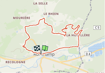


3h05
Difficulty : Difficult

FREE GPS app for hiking
 SityTrail
IGN / Geographical institutes
SityTrail Plus
The world is yours!
About
Trail Walking of 10.3 km to be discovered at Bourgogne-Franche-Comté, Haute-Saône, Ronchamp. This trail is proposed by Bart2015.
Description
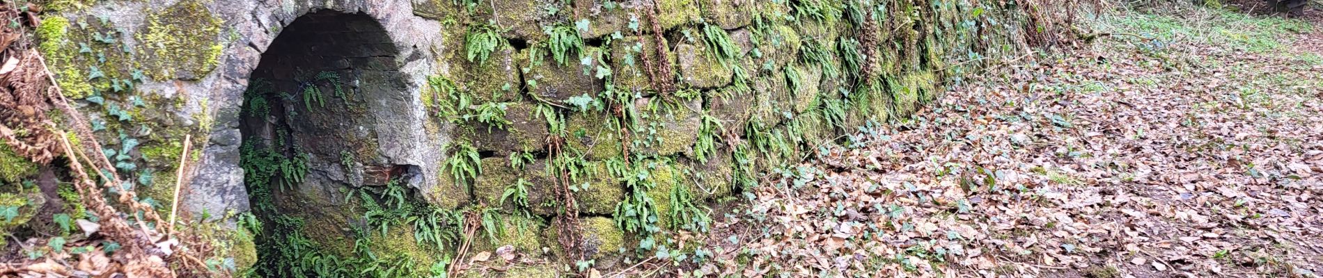
Petite balade au départ du centre de Ronchamp pour visiter la Chapelle Notre Dame du Haut construite en 1953, oeuvre de l'architecte Le Corbusier (visite payante). Elle se poursuit par le sentier des affleurements de l'Etançon : puits de mines de charbon ouverts dès 1744 et fermés en 1958.
Bonne balade ...
Photos
 - Photo 1")
 - Photo 2")
 - Photo 3")
 - Photo 4")
 - Photo 5")
 - Photo 6")
 - Photo 7")
 - Photo 8")
 - Photo 9")
 - Photo 10")
 - Photo 11")
 - Photo 12")
 - Photo 13")
 - Photo 14")
 - Photo 15")
 - Photo 16")
 - Photo 17")
 - Photo 18")
 - Photo 19")
 - Photo 20")
Positioning
Comments