


Longues Ste Foy

aljac
User
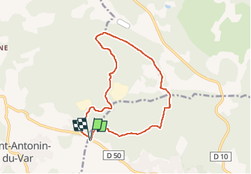

Length
7.8 km

Max alt
378 m

Uphill gradient
143 m
Km-Effort
9.7 km

Min alt
253 m

Downhill gradient
142 m
Boucle
Yes
Creation date :
2024-03-12 13:06:47.85
Updated on :
2024-03-12 15:02:08.144
1h55
Difficulty : Easy

FREE GPS app for hiking
 SityTrail
IGN / Geographical institutes
SityTrail Plus
The world is yours!
About
Trail Walking of 7.8 km to be discovered at Provence-Alpes-Côte d'Azur, Var, Lorgues. This trail is proposed by aljac.
Positioning
Country:
France
Region :
Provence-Alpes-Côte d'Azur
Department/Province :
Var
Municipality :
Lorgues
Location:
Unknown
Start:(Dec)
Start:(UTM)
282337 ; 4820829 (32T) N.
Comments