


balade autour cathédrale de Chartres

apa
User
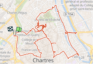

Length
5.3 km

Max alt
166 m

Uphill gradient
63 m
Km-Effort
6.1 km

Min alt
126 m

Downhill gradient
61 m
Boucle
Yes
Creation date :
2024-03-12 14:30:14.831
Updated on :
2024-03-12 17:02:38.971
2h31
Difficulty : Easy

FREE GPS app for hiking
 SityTrail
IGN / Geographical institutes
SityTrail Plus
The world is yours!
About
Trail Walking of 5.3 km to be discovered at Centre-Loire Valley, Eure-et-Loir, Chartres. This trail is proposed by apa.
Description
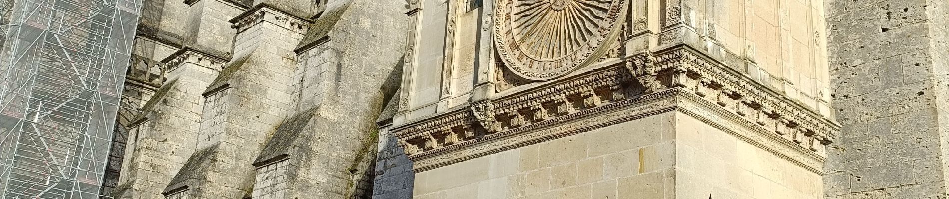
autour de Notre Dame
Photos


25 photos in total. Please click on a photo to see them all in the gallery.
Positioning
Country:
France
Region :
Centre-Loire Valley
Department/Province :
Eure-et-Loir
Municipality :
Chartres
Location:
Unknown
Start:(Dec)
Start:(UTM)
387858 ; 5367057 (31U) N.
Comments