


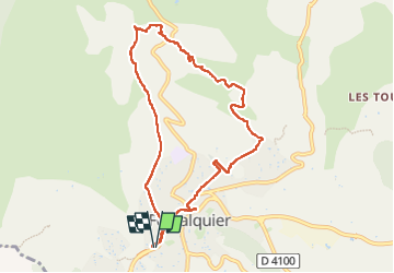

18 km | 26 km-effort


User


FREE GPS app for hiking
 SityTrail
IGN / Geographical institutes
SityTrail World
The world is yours!
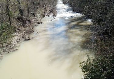
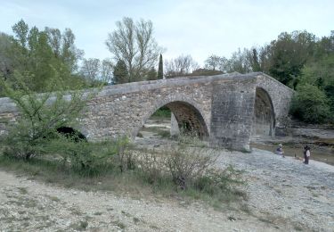
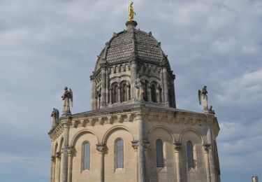
Trail Walking of 9.3 km to be discovered at Provence-Alpes-Côte d'Azur, Alpes-de-Haute-Provence, Forcalquier. This trail is proposed by PITOUSSAINT.
Retour par chemin non balisé. Quelques bornes inconnues sur le retour


Walking
Cycle

Walking
Mountain bike

Walking

Cycle
Walking
Walking
Walking