


Randonnée dans la Vallée de Chamonix

jeff2
User
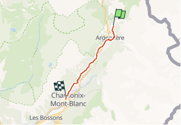

Length
12.5 km

Max alt
1427 m

Uphill gradient
130 m
Km-Effort
15.3 km

Min alt
1040 m

Downhill gradient
441 m
Boucle
No
Creation date :
2024-03-17 09:53:07.81
Updated on :
2024-03-17 13:09:37.626
3h13
Difficulty : Easy

FREE GPS app for hiking
 SityTrail
IGN / Geographical institutes
SityTrail Plus
The world is yours!
About
Trail Walking of 12.5 km to be discovered at Auvergne-Rhône-Alpes, Upper Savoy, Chamonix-Mont-Blanc. This trail is proposed by jeff2.
Description
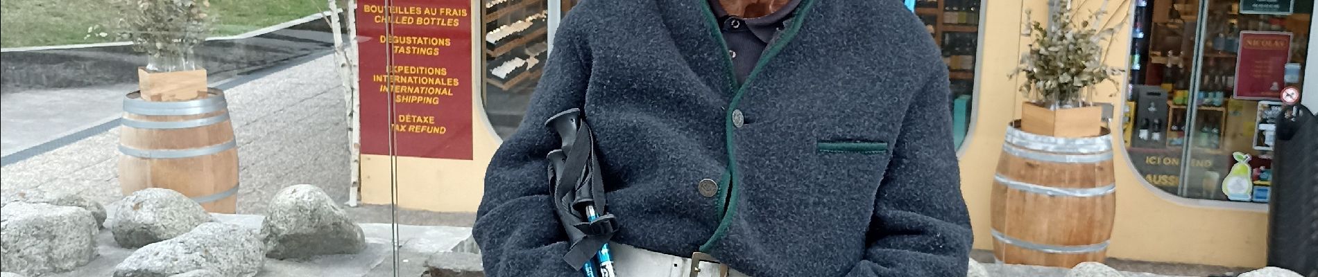
Belle rando, départ Montroc arrivée chez Richard 😊🍰
Photos


Positioning
Country:
France
Region :
Auvergne-Rhône-Alpes
Department/Province :
Upper Savoy
Municipality :
Chamonix-Mont-Blanc
Location:
Unknown
Start:(Dec)
Start:(UTM)
340063 ; 5095659 (32T) N.
Comments