15.9 km | 21 km-effort
Faou
badinpont
User
Length
10.7 km
Max alt
168 m
Uphill gradient
246 m
Km-Effort
14 km
Min alt
35 m
Downhill gradient
245 m
Boucle
Yes
Creation date :
2024-03-17 12:42:18.0
Updated on :
2024-03-17 15:37:17.645
FREE GPS app for hiking
About
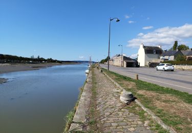
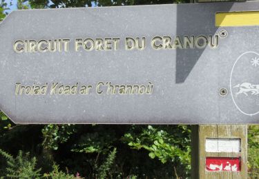
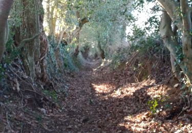
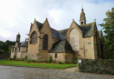
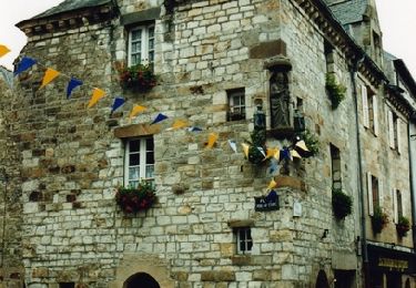
Trail of 10.7 km to be discovered at Brittany, Finistère, Pont-de-Buis-lès-Quimerch. This trail is proposed by badinpont.
Positioning
Country:
France
Region :
Brittany
Department/Province :
Finistère
Municipality :
Pont-de-Buis-lès-Quimerch
Location:
Unknown
Start:(Dec)
Start:(UTM)
415078 ; 5347981 (30U) N.
Comments
Trails nearby
GRP_Crozon_CB_01_Le-Faou_Argol_20200919
Walking
Medium
Le Faou,
Brittany,
Finistère,
France
4h 31min
No
La randonnée du Faou
Walking
Medium
Le Faou,
Brittany,
Finistère,
France
9.4 km | 11.6 km-effort
3h 37min
Yes
GR_37_FC_14_Le-Faou_Argol_20200919
Walking
Medium
Le Faou,
Brittany,
Finistère,
France
15.9 km | 21 km-effort
4h 31min
No
2020-09-01_19h30m58_Piste_2020-08-30 174242
Walking
Medium
Le Faou,
Brittany,
Finistère,
France
22 km | 28 km-effort
5h 25min
Yes
La route de l'Aulne maritime - Hent ster Aon an arvor
Cycle
Difficult
Rosnoën,
Brittany,
Finistère,
France
110 km | 134 km-effort
5h 0min
Yes
LE FAOU / RUMENGOL / HANVEC
Walking
Medium
Le Faou,
Brittany,
Finistère,
France
23 km | 28 km-effort
5h 48min
Yes
Le Faou - 2.1km 15m 40mn - 2019 09 12
Walking
Very easy
Le Faou,
Brittany,
Finistère,
France
2.1 km | 2.3 km-effort
40min
Yes
Rando autour de Rumengol
Walking
Medium
Le Faou,
Brittany,
Finistère,
France
13.4 km | 16.9 km-effort
3h 19min
Yes