


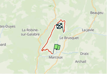
Marcoux crete de liman 950m 15kms

Danielba
User GUIDE

Length
14.7 km

Max alt
1312 m

Uphill gradient
816 m
Km-Effort
25 km

Min alt
667 m

Downhill gradient
747 m
Boucle
No
Creation date :
2024-03-17 08:08:49.791
Updated on :
2024-03-17 17:42:55.357
7h31
Difficulty : Medium

FREE GPS app for hiking
 SityTrail
IGN / Geographical institutes
SityTrail Plus
The world is yours!
About
Trail Walking of 14.7 km to be discovered at Provence-Alpes-Côte d'Azur, Alpes-de-Haute-Provence, Marcoux. This trail is proposed by Danielba .
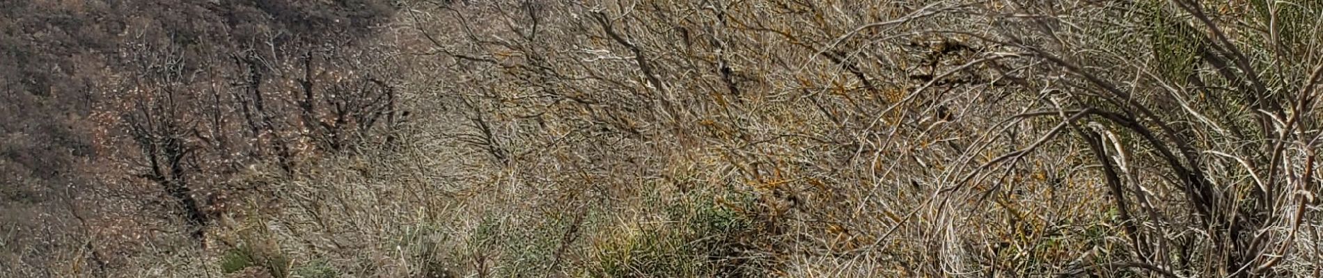
Photos


Positioning
Country:
France
Region :
Provence-Alpes-Côte d'Azur
Department/Province :
Alpes-de-Haute-Provence
Municipality :
Marcoux
Location:
Unknown
Start:(Dec)
Start:(UTM)
281632 ; 4890408 (32T) N.
Comments