Trail Walking Cunfin - CUNFIN (Aube) Le Landion - Photo

CUNFIN (Aube) Le Landion

© OpenStreetMap contributors
Length
Length
11.3 km
Max alt
Max alt
346 m
Uphill gradient
Uphill gradient
235 m
Km-Effort
Km-Effort  
14.4 km
Min alt
Min alt
214 m
Downhill gradient
Downhill gradient
239 m
Boucle
Boucle
Yes
Creation date :
2024-03-18 21:33:35.393
Updated on :
2024-03-18 21:37:06.943

(0 Reviews)

Walking
Walking
3h16
Difficulty : Difficult

Scan this QR Code to open this trail in the SityTrail application

FREE GPS app for hiking

Logo SityTrail SityTrail

IGN / Geographical institutes

Download SityTrail from the App Store Download SityTrail from Google Play

Logo SityTrail SityTrail World

The world is yours!

Download SityTrail from the App Store Download SityTrail from Google Play Download SityTrail on Huawei AppGallery

About

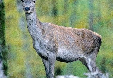
Trail Walking of 11.3 km to be discovered at Grand Est, Aube, Cunfin. This trail is proposed by temmichel.

Description

Randonnée en Aube au départ de CUNFIN qui vous fera cheminer de part et d'autre du Landion, petit cours d'eau qui arrose ce charmant petit village du Grand Est.

Elevation profile

Positioning

Country:
France
Region :
Grand Est
Department/Province :
Aube
Municipality :
Cunfin
Location:
Unknown
Start:(UTM)
624299 ; 5322176 (31U) N.

Trails nearby

Trail Walking Cunfin - Le Val Fontaine entre l'Aube, la Haute-Marne et la Côte d'Or - Photo
Walking
tracegps

Walking

Medium
Cunfin, Grand Est, Aube, France
11 km | 14 km-effort
2h 15min
Yes
Trail Walking Cunfin - CUNFIN (10) - La grande Cystercienne - Photo
Walking
temmichel

Walking

Difficult
Cunfin, Grand Est, Aube, France
13.7 km | 17.5 km-effort
3h 58min
Yes
Trail Walking Cunfin - Cunfin 2 - Photo
Walking
genndor

Walking

Very difficult
Cunfin, Grand Est, Aube, France
20 km | 25 km-effort
5h 44min
Yes


Close
My subscriptions