


rando samrée 19-03-2024

japy54
User GUIDE
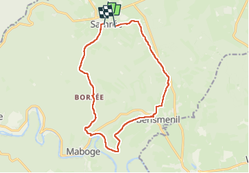

Length
13.8 km

Max alt
566 m

Uphill gradient
397 m
Km-Effort
19 km

Min alt
269 m

Downhill gradient
376 m
Boucle
No
Creation date :
2024-03-19 08:54:19.266
Updated on :
2024-03-19 14:43:45.54
3h04
Difficulty : Medium

FREE GPS app for hiking
 SityTrail
IGN / Geographical institutes
SityTrail Plus
The world is yours!
About
Trail Walking of 13.8 km to be discovered at Wallonia, Luxembourg, La Roche-en-Ardenne. This trail is proposed by japy54.
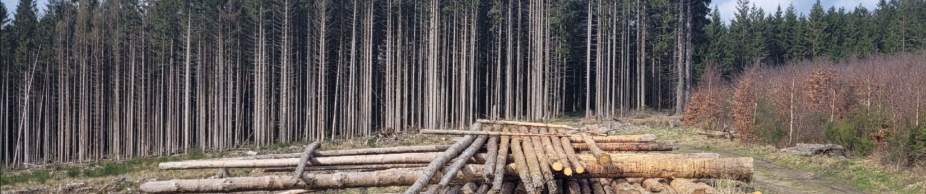
Photos


Positioning
Country:
Belgium
Region :
Wallonia
Department/Province :
Luxembourg
Municipality :
La Roche-en-Ardenne
Location:
Unknown
Start:(Dec)
Start:(UTM)
688242 ; 5565231 (31U) N.
Comments