


Âge tt à droite

TFOLCHER
User
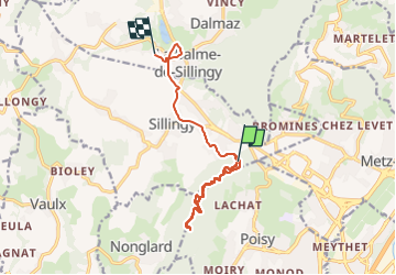

Length
12.1 km

Max alt
675 m

Uphill gradient
296 m
Km-Effort
16.1 km

Min alt
474 m

Downhill gradient
323 m
Boucle
No
Creation date :
2024-03-19 14:32:28.0
Updated on :
2024-03-19 17:02:16.148
2h29
Difficulty : Difficult

FREE GPS app for hiking
 SityTrail
IGN / Geographical institutes
SityTrail Plus
The world is yours!
About
Trail Walking of 12.1 km to be discovered at Auvergne-Rhône-Alpes, Upper Savoy, Sillingy. This trail is proposed by TFOLCHER.
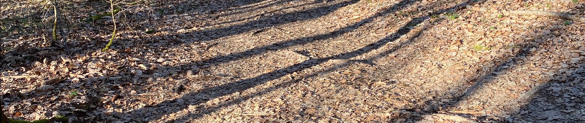
Photos


Positioning
Country:
France
Region :
Auvergne-Rhône-Alpes
Department/Province :
Upper Savoy
Municipality :
Sillingy
Location:
Unknown
Start:(Dec)
Start:(UTM)
271854 ; 5091494 (32T) N.
Comments