


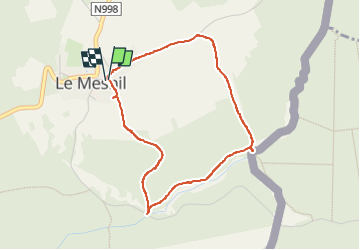

6.4 km | 9.1 km-effort

User GUIDE


FREE GPS app for hiking
 SityTrail
IGN / Geographical institutes
SityTrail World
The world is yours!
Trail Walking of 3.6 km to be discovered at Wallonia, Namur, Viroinval. This trail is proposed by Desrumaux.
Randonnée créée par Pays des Lacs.
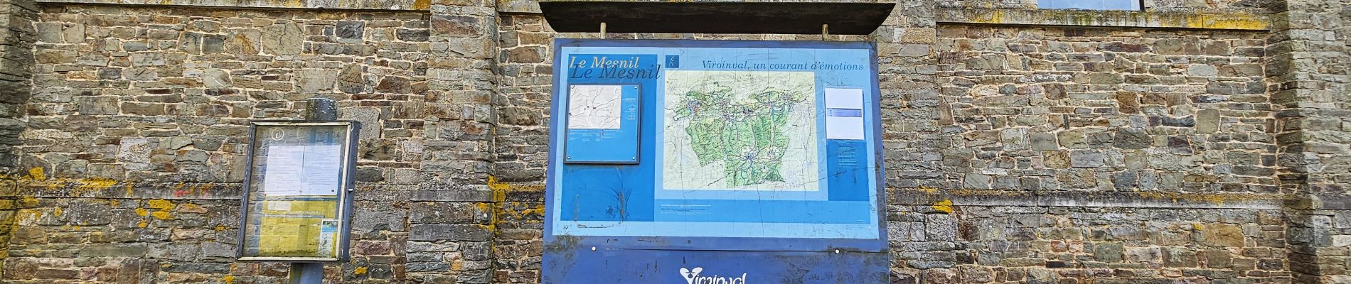
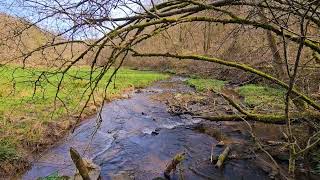
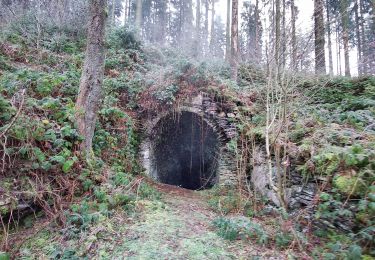
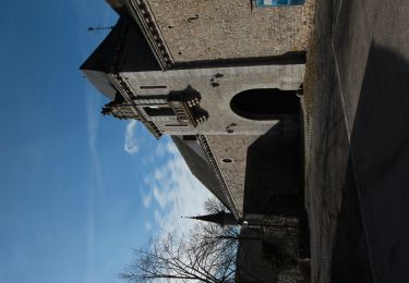
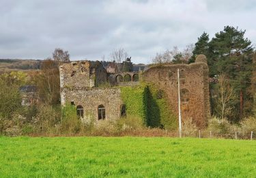
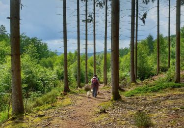
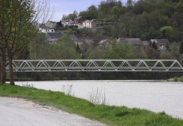
Le Mesnil est le village le moins peuplé, et sans doute le plus pittoresque de l'entité de Viroinval. Pourtant, on y comptait il y a 90 ans, 500 habitants et pas moins de 19 cafés, dont des clandestins. Le Mesnil garde précieusement les traces de son passé. La courte promenade permet d’emprunter des chemins à travers des prairies non clôturées pour vous conduire au sommet de la colline où s’offre une vue vers la vallée de la Meuse et ses forêts ardennaises. Le ruisseau Deluve apporte une note rafraîchissante en fin de parcours, juste avant la remontée vers le village.
Départ église de Le Mesnil
Balisage rectangle vert


Walking

Walking

Nordic walking
Walking
Walking
Walking
On foot
On foot
On foot