


GR364-Jour n°3

dudu79
User

Length
28 km

Max alt
136 m

Uphill gradient
405 m
Km-Effort
33 km

Min alt
46 m

Downhill gradient
348 m
Boucle
No
Creation date :
2024-03-20 20:22:17.026
Updated on :
2024-04-11 19:35:53.917
7h26
Difficulty : Very difficult

FREE GPS app for hiking
 SityTrail
IGN / Geographical institutes
SityTrail Plus
The world is yours!
About
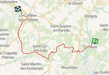
Trail Walking of 28 km to be discovered at Pays de la Loire, Vendée, Vouvant. This trail is proposed by dudu79.
Description
De Vouvant à La Caillère St Hilaire
Positioning
Country:
France
Region :
Pays de la Loire
Department/Province :
Vendée
Municipality :
Vouvant
Location:
Unknown
Start:(Dec)
Start:(UTM)
671011 ; 5159886 (30T) N.
Comments